
ملف:Africa land cover location map.jpg

حجم هذه المعاينة: 635 × 600 بكسل. الأبعاد الأخرى: 254 × 240 بكسل | 508 × 480 بكسل | 813 × 768 بكسل | 1٬084 × 1٬024 بكسل | 1٬525 × 1٬440 بكسل.
الملف الأصلي (1٬525 × 1٬440 بكسل حجم الملف: 523 كيلوبايت، نوع MIME: image/jpeg)
| هذا ملف من ويكيميديا كومنز. معلومات من صفحة وصفه مبينة في الأسفل. كومنز مستودع ملفات ميديا ذو رخصة حرة. |

|
هذه map الصورة / الصورتان باستعمال رسومات متجهية ملفات رسوميات شعاعية.
It is recommended to name the SVG file "Africa land cover location map.svg" - then the template Vector version available (or Vva) does not need the new image name parameter.
|


ملخص
| الوصف |
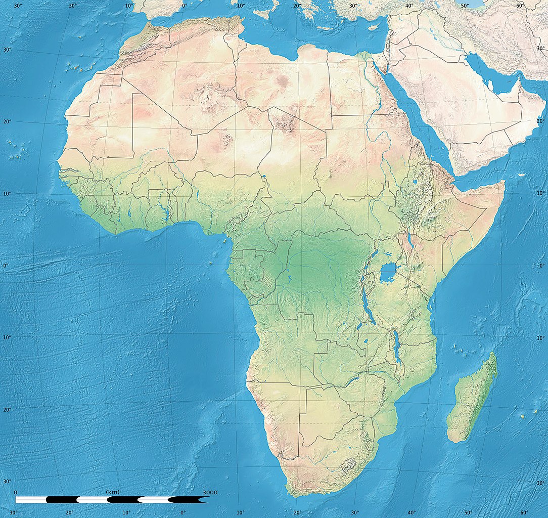
English: Simulated land cover map of Africa showing the natural aspect of the land with bathymetry as it could be seen from space; for geo-location purposes. Borders as in July 2011.
Français : Carte de la couverture du sol simulée de l'Afrique montrant l'aspect naturel des terres telles qu'elles seraient vues depuis l'espace, avec bathymétrie ; destinée à la géolocalisation. Frontières telles qu'en juillet 2011. Lambert azimutal equal-area projection, WGS84 datum
|
| التاريخ | يوليو ٢٠١٠, updated 2011-07 |
| المصدر |
Blank background map: Natural Earth II (public domain) by Tom Patterson, US National Park Service |
| المؤلف | Tom Patterson and Eric Gaba (Sting - fr:Sting) |
| الترخيص (إعادة استخدام هذا الملف) |
Public domain |
| إصدارات أخرى |
|


| موقع آلة التصوير | | هذه وغيرها من الصور في مواقعها على: خريطة الشارع المفتوحة |
|---|
ترخيص
| This work was previously under Public Domain, or a Free License. It has been digitally enhanced and/or modified. This derivative work has been (or is hereby) released into the public domain by its author, Sting at the French Wikipedia project. This applies worldwide. In some countries this is not legally possible; if so:
|
تاريخ الملف
اضغط على زمن/تاريخ لرؤية الملف كما بدا في هذا الزمن.
| زمن/تاريخ | صورة مصغرة | الأبعاد | مستخدم | تعليق | |
|---|---|---|---|---|---|
| حالي | 18:54، 14 يوليو 2011 | | 1٬525 × 1٬440 (523 كيلوبايت) | Sting | Sudan/South Sudan 07-2011 border update |
| 13:33، 19 يوليو 2010 |  | 1٬525 × 1٬440 (440 كيلوبايت) | Sting | Color profile | |
| 02:55، 7 يوليو 2010 |  | 1٬525 × 1٬440 (447 كيلوبايت) | Sting | Again... | |
| 02:49، 7 يوليو 2010 |  | 1٬525 × 1٬440 (441 كيلوبايت) | Sting | Public domain => no copyright mention | |
| 20:29، 3 يوليو 2010 |  | 1٬525 × 1٬440 (447 كيلوبايت) | Sting | == {{int:filedesc}} == {{Location|00|00|00|N|15|00|00|E|scale:30000000}} <br/>{{Information |Description={{en|Land cover map of Africa simulating the natural aspect of the land with bathymetry; for geo-location purposes.} |
استخدام الملف
الصفحة التالية تستخدم هذا الملف:
الاستخدام العالمي للملف
الويكيات الأخرى التالية تستخدم هذا الملف:
- الاستخدام في als.wikipedia.org
- الاستخدام في az.wikipedia.org
- الاستخدام في ce.wikipedia.org
- الاستخدام في de.wikipedia.org
- الاستخدام في en.wikipedia.org
- الاستخدام في frr.wikipedia.org
- الاستخدام في fr.wikipedia.org
- الاستخدام في hr.wikipedia.org
- Predložak:Klikabilna mapa start
- Predložak:Etnička karta/BiH/Fojnica
- Predložak:Etnička karta/BiH/Prozor-Rama
- Predložak:Etnička karta/BiH/Uskoplje
- Suradnik:Sombrero/sandbox
- Predložak:Etnička karta/BiH/Konjic
- Predložak:Etnička karta/BiH/Jablanica
- Predložak:Etnička karta/BiH/Kreševo
- Predložak:Etnička karta/BiH/Kupres
- Predložak:Etnička karta/BiH/Bugojno
- Predložak:Etnička karta/BiH/Brčko
- Modul:Location map
- Predložak:Location map
- Modul:Location map/data/Afrika
- Modul:Location map/doc
- Predložak:Location map/doc
- Modul:Location map/data/Afrika/doc
- الاستخدام في inh.wikipedia.org
- الاستخدام في lv.wikipedia.org
- الاستخدام في myv.wikipedia.org
- الاستخدام في pt.wikipedia.org
- الاستخدام في ru.wikipedia.org
- الاستخدام في si.wikipedia.org
- الاستخدام في uz.wikipedia.org
- الاستخدام في vi.wikipedia.org