
ملف:Argyll and Bute UK location map.svg

حجم معاينة PNG لذلك الملف ذي الامتداد SVG: 579 × 600 بكسل. الأبعاد الأخرى: 232 × 240 بكسل | 463 × 480 بكسل | 741 × 768 بكسل | 988 × 1٬024 بكسل | 1٬977 × 2٬048 بكسل | 1٬336 × 1٬384 بكسل.
الملف الأصلي (ملف SVG، أبعاده 1٬336 × 1٬384 بكسل، حجم الملف: 3٫65 ميجابايت)
| هذا ملف من ويكيميديا كومنز. معلومات من صفحة وصفه مبينة في الأسفل. كومنز مستودع ملفات ميديا ذو رخصة حرة. |
| الوصف |
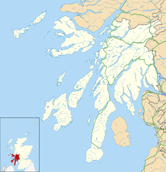
Blank map of Argyll and Bute, UK with the following information shown:
Equirectangular map projection on WGS 84 datum, with N/S stretched 175% Geographic limits:
|
| التاريخ | |
| المصدر |
|
| المؤلف | Nilfanion, created using Ordnance Survey data |
| الترخيص (إعادة استخدام هذا الملف) |
هذا الملفُّ مُرخَّص بموجب رخصة المشاع الإبداعي نسبة المُصنَّف إِلى مُؤَلِّفه - المشاركة بالمثل 3.0 العامة نسب العمل لمُؤَلِّفه: Contains Ordnance Survey data © Crown copyright and database right
|
| إصدارات أخرى | Argyll and Bute UK blank map.svg - Blank map |
| SVG منشأ الملف | , or with something else.هذا الرسم المتجهي أُنشئ بواسطة Inkscape |
تاريخ الملف
اضغط على زمن/تاريخ لرؤية الملف كما بدا في هذا الزمن.
| زمن/تاريخ | صورة مصغرة | الأبعاد | مستخدم | تعليق | |
|---|---|---|---|---|---|
| حالي | 20:03، 26 سبتمبر 2010 | | 1٬336 × 1٬384 (3٫65 ميجابايت) | Nilfanion | {{Information |Description=Blank map of Argyll and Bute, UK with the following information shown: *Administrative borders *Coastline, lakes and rivers *Roads and railways *Urban areas Equirectangular map projection on WGS 84 datum, |
استخدام الملف
الصفحة التالية تستخدم هذا الملف:
الاستخدام العالمي للملف
الويكيات الأخرى التالية تستخدم هذا الملف:
- الاستخدام في ba.wikipedia.org
- الاستخدام في bg.wikipedia.org
- الاستخدام في ceb.wikipedia.org
- الاستخدام في de.wikipedia.org
- الاستخدام في en.wikipedia.org
- List of monastic houses in Scotland
- Argyll and Bute
- Dunoon
- RAF Machrihanish
- Campbeltown Airport
- Rothesay
- Tobermory, Mull
- Lochgilphead
- Mull of Kintyre
- Kilcreggan
- Port Ellen
- Lagavulin
- Ardrishaig
- Kilchurn Castle
- Duart Castle
- RNAS Machrihanish (HMS Landrail)
- Calgary, Mull
- Port Bannatyne
- Crinan, Argyll
- Carradale
- Kennacraig
- Peninver
- Saddell
- Islay Airport
- Bunessan
- Knockan
- Southend, Argyll
- Kintra
- Fionnphort
- Ardlui
- Bowmore
- Craighouse
- Tarbert, Kintyre
اعرض المزيد من الاستخدام العام لهذا الملف.