
ملف:Australia Victoria Wodonga City location map.svg

حجم معاينة PNG لذلك الملف ذي الامتداد SVG: 535 × 385 بكسل. الأبعاد الأخرى: 320 × 230 بكسل | 640 × 461 بكسل | 1٬024 × 737 بكسل | 1٬280 × 921 بكسل | 2٬560 × 1٬842 بكسل.
الملف الأصلي (ملف SVG، أبعاده 535 × 385 بكسل، حجم الملف: 505 كيلوبايت)
| هذا ملف من ويكيميديا كومنز. معلومات من صفحة وصفه مبينة في الأسفل. كومنز مستودع ملفات ميديا ذو رخصة حرة. |
| الوصف |
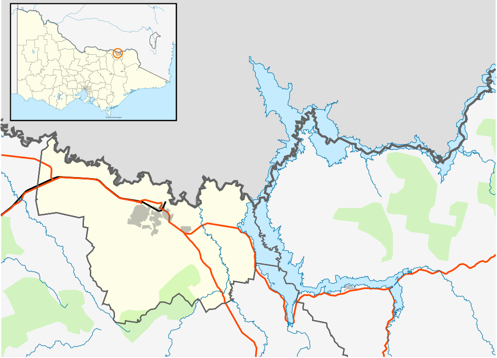
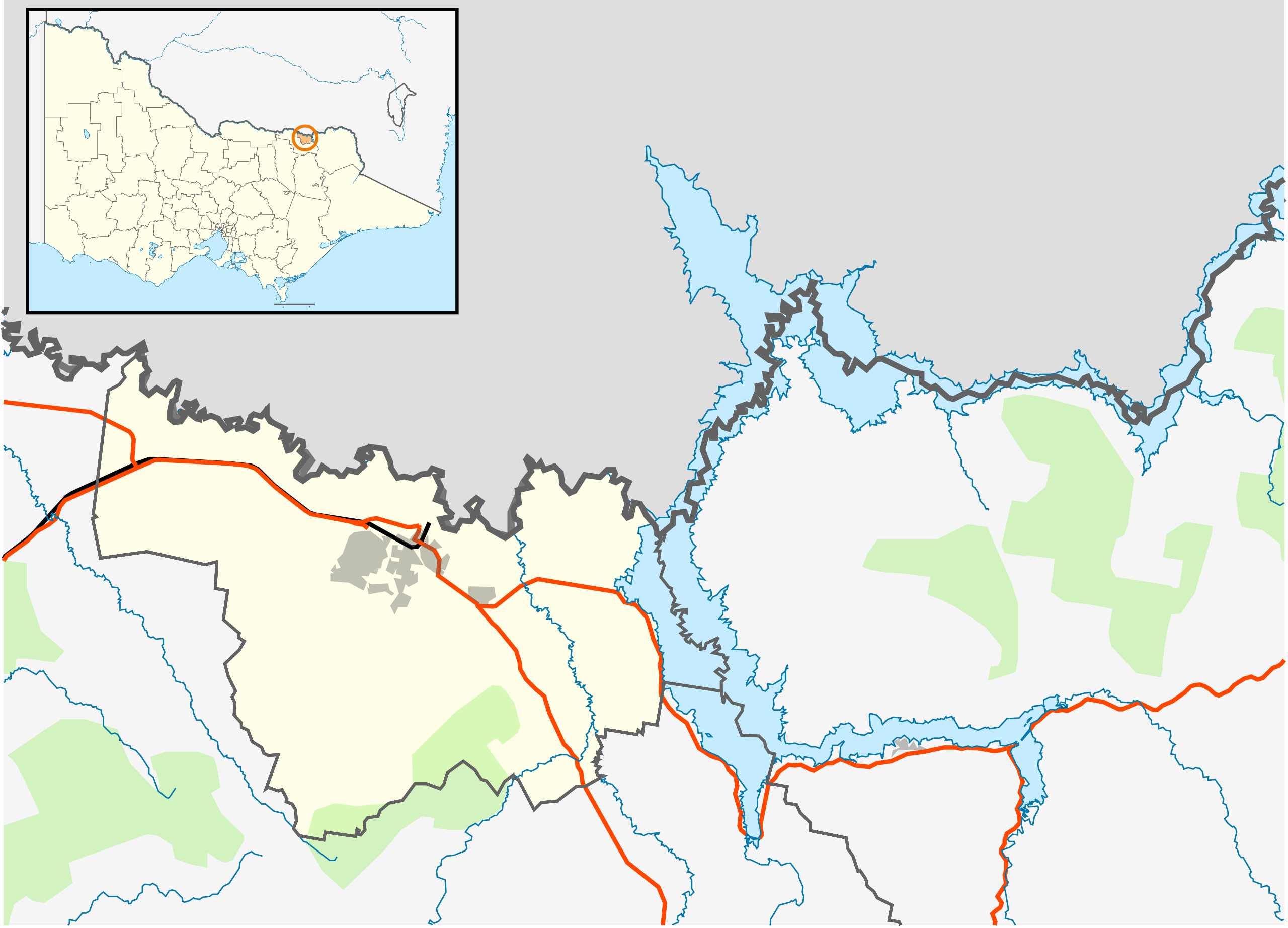
English: Blank map of the w:City of Wodonga, Victoria, Australia, with the following information shown:
Geographic limits:
|
||
| المصدر | عمل شخصي | ||
| المؤلف | Cassowary |

تاريخ الملف
اضغط على زمن/تاريخ لرؤية الملف كما بدا في هذا الزمن.
| زمن/تاريخ | صورة مصغرة | الأبعاد | مستخدم | تعليق | |
|---|---|---|---|---|---|
| حالي | 16:16، 17 فبراير 2011 | | 535 × 385 (505 كيلوبايت) | Cassowary | {{Information |Description ={{en|1=Blank map of the w:City of Wodonga, Victoria, Australia, with the following information shown: * LGA boundaries * Coastline, lakes and rivers * Roads and railways * Urban areas * Parks Geographic limits: * North: |
استخدام الملف
الصفحة التالية تستخدم هذا الملف:
الاستخدام العالمي للملف
الويكيات الأخرى التالية تستخدم هذا الملف:
- الاستخدام في ceb.wikipedia.org
- الاستخدام في en.wikipedia.org
- Wodonga
- City of Wodonga
- Template:Towns in the City of Wodonga
- Bandiana
- Bonegilla
- Gateway Island, Victoria
- Module:Location map/data/Australia Victoria City of Wodonga/doc
- Staghorn Flat
- Ebden, Victoria
- Module:Location map/data/Australia Victoria City of Wodonga
- User:Viatori/sandbox
- User:ThylacineHunter/LGA
- الاستخدام في fa.wikipedia.org
- الاستخدام في id.wikipedia.org
- الاستخدام في kn.wikipedia.org
- الاستخدام في si.wikipedia.org
- الاستخدام في tr.wikipedia.org
- الاستخدام في uz.wikipedia.org
- الاستخدام في war.wikipedia.org