
ملف:Canada Newfoundland and Labrador location map.svg

حجم معاينة PNG لذلك الملف ذي الامتداد SVG: 419 × 599 بكسل. الأبعاد الأخرى: 168 × 240 بكسل | 336 × 480 بكسل | 537 × 768 بكسل | 716 × 1٬024 بكسل | 1٬432 × 2٬048 بكسل | 1٬512 × 2٬162 بكسل.
الملف الأصلي (ملف SVG، أبعاده 1٬512 × 2٬162 بكسل، حجم الملف: 1٫15 ميجابايت)
| هذا ملف من ويكيميديا كومنز. معلومات من صفحة وصفه مبينة في الأسفل. كومنز مستودع ملفات ميديا ذو رخصة حرة. |
ملخص
| الوصف |
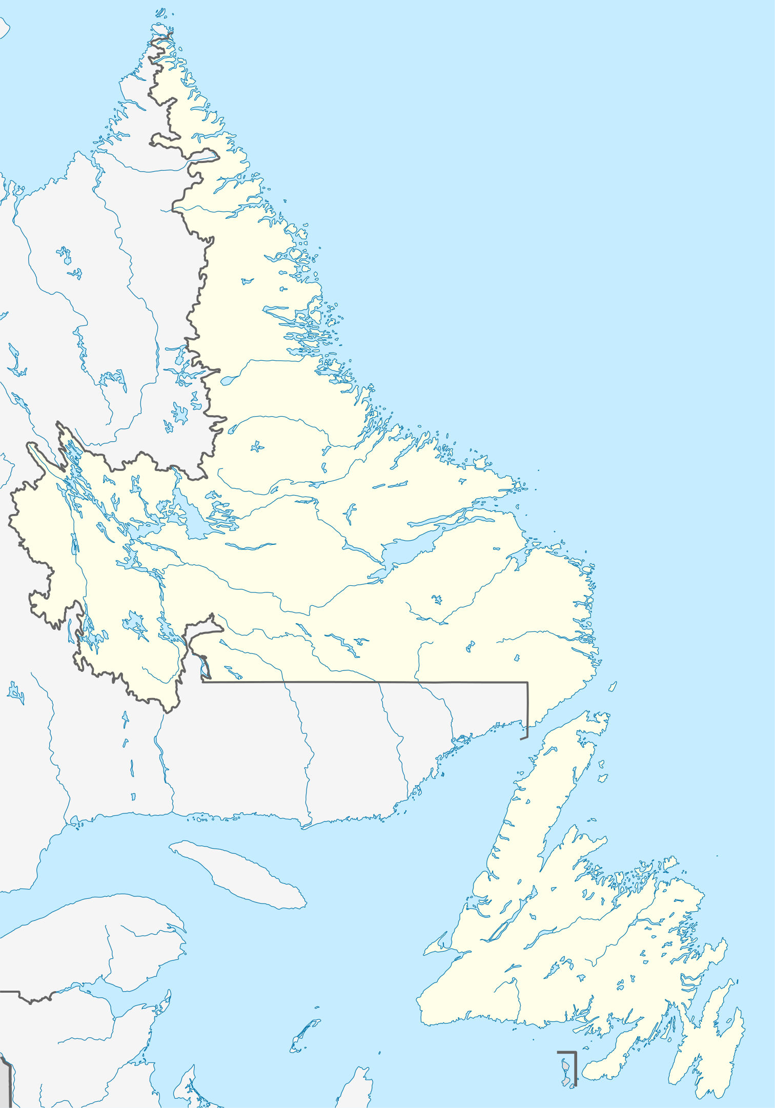
Quadratische Plattkarte, N-S-Streckung 160 %. Geographische Begrenzung der Karte:
Equirectangular projection, N/S stretching 160 %. Geographic limits of the map:
|
| التاريخ | |
| المصدر |
عمل شخصي, using
|
| المؤلف | NordNordWest |
| الترخيص (إعادة استخدام هذا الملف) |
أنا، صاحب حقوق التأليف والنشر لهذا العمل، أنشر هذا العمل تحت الرخصة التالية: هذا الملفُّ مُرخَّص بموجب رخصة المشاع الإبداعي نسبة المُصنَّف إِلى مُؤَلِّفه - المشاركة بالمثل 3.0 العامة
|
| إصدارات أخرى |
أَعمالٌ مُشتقَّة مِن هذا الملفِّ: Labrador Region Map with Towns and Highway.svg
|


|
أُنتجت هذه الخريطة أو حُسِّنت في مَرسم الخرائِط الأَلمانيُّ. يُمكنك أَيضاً اقتراح خرائِطَ أُخرى للتحسين.
|
تاريخ الملف
اضغط على زمن/تاريخ لرؤية الملف كما بدا في هذا الزمن.
| زمن/تاريخ | صورة مصغرة | الأبعاد | مستخدم | تعليق | |
|---|---|---|---|---|---|
| حالي | 14:38، 28 أغسطس 2009 | | 1٬512 × 2٬162 (1٫15 ميجابايت) | NordNordWest | {{int:filedesc}} {{Information |Description= {{de|Positionskarte von Neufundland und Labrador, Kanada}} Quadratische Plattkarte, N-S-Streckung 160 %. Geographische Begrenzung der Karte: * N: 60.8° N * S: 46 |
استخدام الملف
الصفحة التالية تستخدم هذا الملف:
الاستخدام العالمي للملف
الويكيات الأخرى التالية تستخدم هذا الملف:
- الاستخدام في af.wikipedia.org
- الاستخدام في ba.wikipedia.org
- الاستخدام في ce.wikipedia.org
- الاستخدام في cs.wikipedia.org
- الاستخدام في de.wikipedia.org
- St. John’s (Neufundland)
- Gros-Morne-Nationalpark
- Dildo (Neufundland)
- Gander
- Wasserkraftwerk Churchill Falls
- Channel-Port aux Basques
- Peterview
- Grand Falls-Windsor
- Badger (Neufundland und Labrador)
- Labrador City
- Happy Valley-Goose Bay
- L’Anse-au-Clair
- Red Bay (Neufundland und Labrador)
- Gander International Airport
- Mount Pearl
- Corner Brook
- Deer Lake (Neufundland)
- Stephenville (Neufundland)
- Twillingate
- Conception Bay South
- St. Anthony (Neufundland)
- L’Anse-Amour
- Arnold’s Cove
- North River (Town, Neufundland)
- Wikipedia:Kartenwerkstatt/Positionskarten/Nordamerika
- Ferryland
- Vorlage:Positionskarte Kanada Neufundland und Labrador
- Cape St. Mary’s
- Benutzer:Zuviele Interessen/Hvítramannaland
- Cape Race Lighthouse
- Come By Chance (Neufundland und Labrador)
- Point of Bay
- Mary Brown’s Centre
- Wabush
- Stephenville International Airport
- Admirals Beach
- Harbour Grace
- Point Rosee
- Sop’s Arm
- Vorlage:Positionskarte Kanada Neufundland
- Point Amour Lighthouse
- World U-17 Hockey Challenge 2004
- Placentia (Neufundland und Labrador)
- Portugal Cove-St. Philip’s
اعرض المزيد من الاستخدام العام لهذا الملف.