
ملف:Carmarthenshire UK location map.svg

حجم معاينة PNG لذلك الملف ذي الامتداد SVG: 769 × 600 بكسل. الأبعاد الأخرى: 308 × 240 بكسل | 616 × 480 بكسل | 985 × 768 بكسل | 1٬280 × 998 بكسل | 2٬560 × 1٬996 بكسل | 1٬425 × 1٬111 بكسل.
الملف الأصلي (ملف SVG، أبعاده 1٬425 × 1٬111 بكسل، حجم الملف: 1٫29 ميجابايت)
| هذا ملف من ويكيميديا كومنز. معلومات من صفحة وصفه مبينة في الأسفل. كومنز مستودع ملفات ميديا ذو رخصة حرة. |
| الوصف |
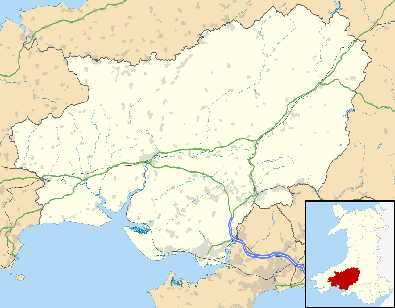
Blank map of Carmarthenshire, UK with the following information shown:
Equirectangular map projection on WGS 84 datum, with N/S stretched 160% Geographic limits:
|
| التاريخ | |
| المصدر |
|
| المؤلف | Nilfanion, created using Ordnance Survey data |
| الترخيص (إعادة استخدام هذا الملف) |
هذا الملفُّ مُرخَّص بموجب رخصة المشاع الإبداعي نسبة المُصنَّف إِلى مُؤَلِّفه - المشاركة بالمثل 3.0 العامة نسب العمل لمُؤَلِّفه: Contains Ordnance Survey data © Crown copyright and database right
|
| إصدارات أخرى | File:Carmarthenshire UK map.svg - Blank map |
تاريخ الملف
اضغط على زمن/تاريخ لرؤية الملف كما بدا في هذا الزمن.
| زمن/تاريخ | صورة مصغرة | الأبعاد | مستخدم | تعليق | |
|---|---|---|---|---|---|
| حالي | 19:31، 26 سبتمبر 2010 | | 1٬425 × 1٬111 (1٫29 ميجابايت) | Nilfanion | {{Information |Description=Blank map of Carmarthenshire, UK with the following information shown: *Administrative borders *Coastline, lakes and rivers *Roads and railways *Urban areas Equirectangular map projection on WGS 84 datum, |
استخدام الملف
الصفحة التالية تستخدم هذا الملف:
الاستخدام العالمي للملف
الويكيات الأخرى التالية تستخدم هذا الملف:
- الاستخدام في azb.wikipedia.org
- الاستخدام في ceb.wikipedia.org
- الاستخدام في cy.wikipedia.org
- الاستخدام في en.wikipedia.org
- List of monastic houses in Wales
- Carmarthenshire
- Llanelli
- Carmarthen
- Ammanford
- Llwynhendy
- Llandeilo
- Newcastle Emlyn
- Whitland
- Burry Port
- Kidwelly
- Llandovery
- Abergwili
- Laugharne
- Cenarth
- St Clears
- Glanamman
- Pendine Sands
- Pembrey Sands Air Weapons Range
- Pembrey
- Pembrey Airport
- Llanybydder
- Betws, Carmarthenshire
- Bancyfelin
- Carreg Cennen Castle
- Aber-arad
- Abergorlech
- Abernant, Carmarthenshire
- Felinfoel
- Myddfai
- Cross Hands
- Brynamman
- Pantyffynnon
- Ferryside television relay station
- Ferryside
- Llansteffan
- Kidwelly Castle
- Garnant
- Eglwyscummin
- Pencader, Carmarthenshire
- Pontyberem
- Llangain
- Bryn, Llanelli
- Pemberton, Carmarthenshire
- Dafen, Carmarthenshire
- Llangennech
اعرض المزيد من الاستخدام العام لهذا الملف.