
ملف:Dorset UK relief location map.jpg

حجم هذه المعاينة: 800 × 556 بكسل. الأبعاد الأخرى: 320 × 222 بكسل | 640 × 445 بكسل | 1٬024 × 712 بكسل | 1٬280 × 889 بكسل | 1٬999 × 1٬389 بكسل.
الملف الأصلي (1٬999 × 1٬389 بكسل حجم الملف: 301 كيلوبايت، نوع MIME: image/jpeg)
| هذا ملف من ويكيميديا كومنز. معلومات من صفحة وصفه مبينة في الأسفل. كومنز مستودع ملفات ميديا ذو رخصة حرة. |
| الوصف |
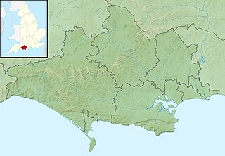
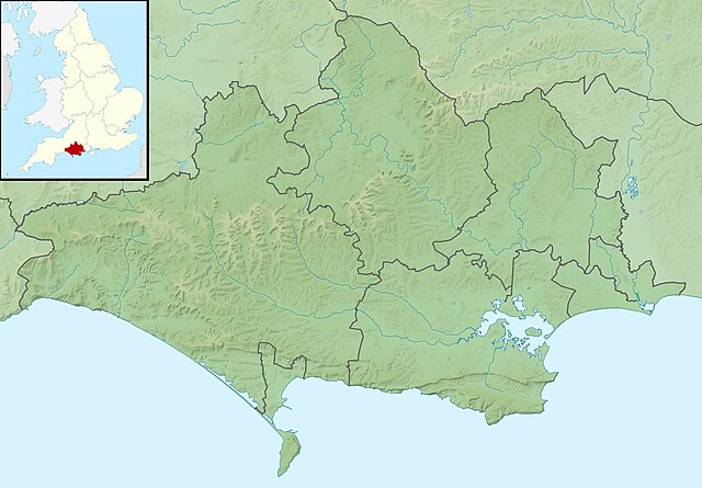
Relief map of Dorset, UK. Equirectangular map projection on WGS 84 datum, with N/S stretched 155% Geographic limits:
|
| التاريخ | |
| المصدر |
|
| المؤلف | Nilfanion, created using Ordnance Survey data |
| الترخيص (إعادة استخدام هذا الملف) |
هذا الملفُّ مُرخَّص بموجب رخصة المشاع الإبداعي نسبة المُصنَّف إِلى مُؤَلِّفه - المشاركة بالمثل 3.0 العامة نسب العمل لمُؤَلِّفه: Contains Ordnance Survey data © Crown copyright and database right
|
| إصدارات أخرى | File:Dorset UK district map (blank).svg - Blank map |
.svg)
تاريخ الملف
اضغط على زمن/تاريخ لرؤية الملف كما بدا في هذا الزمن.
| زمن/تاريخ | صورة مصغرة | الأبعاد | مستخدم | تعليق | |
|---|---|---|---|---|---|
| حالي | 01:29، 29 نوفمبر 2011 | | 1٬999 × 1٬389 (301 كيلوبايت) | Nilfanion | {{Information |Description=Relief map of Dorset, UK. Equirectangular map projection on WGS 84 datum, with N/S stretched 155% Geographic limits: *West: 2.99W *East: 1.65W *North: 51.10N *South: 50.50N |Source=[[w:Ordnance Survey|Ordnance Sur |
استخدام الملف
الصفحة التالية تستخدم هذا الملف:
الاستخدام العالمي للملف
الويكيات الأخرى التالية تستخدم هذا الملف:
- الاستخدام في bg.wikipedia.org
- الاستخدام في ceb.wikipedia.org
- الاستخدام في el.wikipedia.org
- الاستخدام في en.wikipedia.org
- River Frome, Dorset
- Poole Harbour
- Lulworth Cove
- River Piddle
- Ballard Down
- River Wey, Dorset
- Radipole Lake
- Hambledon Hill
- Wytch Farm
- River Allen, Dorset
- River Tarrant
- Ringstead Bay
- Lewesdon Hill
- Lulworth Castle
- Poole Bay
- White Nothe
- River Hooke
- River Bourne, Dorset
- Chapman's Pool
- River Asker
- Bournemouth Reform Synagogue
- Pondfield Cove
- Bournemouth Community Hebrew Congregation
- River Brit
- Weymouth Lifeboat Station
- Mudeford Lifeboat Station
- Poole Lifeboat Station
- Thorncombe Beacon
- Halsewell (East Indiaman)
- Ball Hill, Dorset
- Dogbury Hill
- Beaminster Down
- St James's Church, Kingston, Purbeck
- River Bride, Dorset
- Siege of Lyme Regis
- Module:Location map/data/United Kingdom Dorset
- Module:Location map/data/Dorset
- Module:Location map/data/United Kingdom Dorset/doc
اعرض المزيد من الاستخدام العام لهذا الملف.