
ملف:Flintshire UK location map.svg

حجم معاينة PNG لذلك الملف ذي الامتداد SVG: 541 × 600 بكسل. الأبعاد الأخرى: 216 × 240 بكسل | 433 × 480 بكسل | 693 × 768 بكسل | 924 × 1٬024 بكسل | 1٬847 × 2٬048 بكسل | 1٬177 × 1٬305 بكسل.
الملف الأصلي (ملف SVG، أبعاده 1٬177 × 1٬305 بكسل، حجم الملف: 758 كيلوبايت)
| هذا ملف من ويكيميديا كومنز. معلومات من صفحة وصفه مبينة في الأسفل. كومنز مستودع ملفات ميديا ذو رخصة حرة. |
| الوصف |
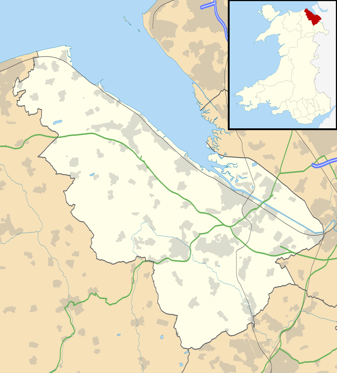
Blank map of Flintshire, UK with the following information shown:
Equirectangular map projection on WGS 84 datum, with N/S stretched 165% Geographic limits:
|
| التاريخ | |
| المصدر |
|
| المؤلف | Nilfanion, created using Ordnance Survey data |
| الترخيص (إعادة استخدام هذا الملف) |
هذا الملفُّ مُرخَّص بموجب رخصة المشاع الإبداعي نسبة المُصنَّف إِلى مُؤَلِّفه - المشاركة بالمثل 3.0 العامة نسب العمل لمُؤَلِّفه: Contains Ordnance Survey data © Crown copyright and database right
|
| إصدارات أخرى | File:Flintshire UK map.svg - Blank map |
تاريخ الملف
اضغط على زمن/تاريخ لرؤية الملف كما بدا في هذا الزمن.
| زمن/تاريخ | صورة مصغرة | الأبعاد | مستخدم | تعليق | |
|---|---|---|---|---|---|
| حالي | 19:33، 26 سبتمبر 2010 | | 1٬177 × 1٬305 (758 كيلوبايت) | Nilfanion | {{Information |Description=Blank map of Flintshire, UK with the following information shown: *Administrative borders *Coastline, lakes and rivers *Roads and railways *Urban areas Equirectangular map projection on WGS 84 datum, with N/S s |
استخدام الملف
الصفحة التالية تستخدم هذا الملف:
الاستخدام العالمي للملف
الويكيات الأخرى التالية تستخدم هذا الملف:
- الاستخدام في ceb.wikipedia.org
- الاستخدام في cy.wikipedia.org
- الاستخدام في da.wikipedia.org
- الاستخدام في en.wikipedia.org
- List of monastic houses in Wales
- Hawarden
- Flintshire
- Flint, Flintshire
- Buckley, Flintshire
- Holywell, Flintshire
- Mold, Flintshire
- Queensferry, Flintshire
- Mostyn
- Shotton, Flintshire
- Point of Ayr
- Caergwrle
- Ewloe
- Northop Hall
- Talacre
- Caerwys
- Abermorddu
- Afonwen
- Mynydd Isa
- Sealand, Flintshire
- Bagillt
- Ogof Hesp Alyn
- Ogof Hen Ffynhonnau
- Pentre Halkyn
- Moel-y-Parc transmitting station
- Northop
- Broughton, Flintshire
- Sychdyn
- Dee Estuary
- Penyffordd
- Higher Kinnerton
- Hope, Flintshire
- Leeswood
- Treuddyn
- Nannerch
- Mancot
- Hawarden Airport
- Cilcain
- Rhosesmor
- Halkyn
- Aston Park, Flintshire
- Babell
- Gwernymynydd
- Pantymwyn
- Brynford
- Ysceifiog
- Deeside Community Hospital
اعرض المزيد من الاستخدام العام لهذا الملف.