
ملف:Hampshire UK location map.svg

حجم معاينة PNG لذلك الملف ذي الامتداد SVG: 704 × 599 بكسل. الأبعاد الأخرى: 282 × 240 بكسل | 564 × 480 بكسل | 902 × 768 بكسل | 1٬203 × 1٬024 بكسل | 2٬406 × 2٬048 بكسل | 1٬425 × 1٬213 بكسل.
الملف الأصلي (ملف SVG، أبعاده 1٬425 × 1٬213 بكسل، حجم الملف: 2٫35 ميجابايت)
| هذا ملف من ويكيميديا كومنز. معلومات من صفحة وصفه مبينة في الأسفل. كومنز مستودع ملفات ميديا ذو رخصة حرة. |
| الوصف |
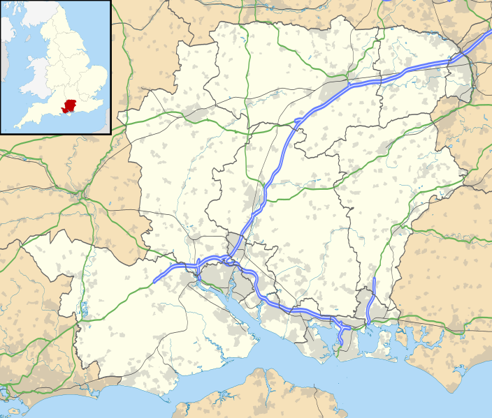
Map of Hampshire, UK with the following information shown:
Equirectangular map projection on WGS 84 datum, with N/S stretched 155% Geographic limits:
|
| التاريخ | |
| المصدر |
|
| المؤلف | Nilfanion, created using Ordnance Survey data |
| الترخيص (إعادة استخدام هذا الملف) |
هذا الملفُّ مُرخَّص بموجب رخصة المشاع الإبداعي نسبة المُصنَّف إِلى مُؤَلِّفه - المشاركة بالمثل 3.0 العامة نسب العمل لمُؤَلِّفه: Contains Ordnance Survey data © Crown copyright and database right
|
| إصدارات أخرى | File:Hampshire UK district map (blank).svg - Blank map |
.svg)
تاريخ الملف
اضغط على زمن/تاريخ لرؤية الملف كما بدا في هذا الزمن.
| زمن/تاريخ | صورة مصغرة | الأبعاد | مستخدم | تعليق | |
|---|---|---|---|---|---|
| حالي | 18:55، 26 سبتمبر 2010 | | 1٬425 × 1٬213 (2٫35 ميجابايت) | Nilfanion | {{Information |Description=Map of Hampshire, UK with the following information shown: *Administrative borders *Coastline, lakes and rivers *Roads and railways *Urban areas Equirectangular map projection on WGS 84 datum, with N/S stretched |
استخدام الملف
الصفحتان التاليتان تستخدمان هذا الملف:
الاستخدام العالمي للملف
الويكيات الأخرى التالية تستخدم هذا الملف:
- الاستخدام في bg.wikipedia.org
- الاستخدام في ceb.wikipedia.org
- الاستخدام في en.wikipedia.org
- Emsworth
- Hayling Island
- Hampshire
- Waterlooville
- Winchester
- Beaulieu, Hampshire
- Southsea
- Domus Dei
- Winchester Cathedral
- Romsey Abbey
- Calleva Atrebatum
- Tadley
- National Motor Museum, Beaulieu
- Wickham, Hampshire
- Romsey
- Little London, Tadley, Hampshire
- Lovedean
- Farnborough, Hampshire
- Fleet, Hampshire
- Church Crookham
- Blackbushe Airport
- Havant
- Nursling
- Fordingbridge
- Southampton Airport
- Fareham
- Whale Island, Hampshire
- Basingstoke
- Aldershot
- Eastleigh
- Alton, Hampshire
- Andover, Hampshire
- Lymington
- Portchester
- Ringwood, Hampshire
- Yateley
- Chawton
- New Milton
- Brockenhurst
- Bishop's Waltham
- Portchester Castle
- Hythe, Hampshire
- Portsea Island
- RAF Odiham
- University of Portsmouth
- Stratfield Saye House
- Liphook
- Totton and Eling
اعرض المزيد من الاستخدام العام لهذا الملف.