
ملف:Location map of Dearborn County, Indiana.svg

حجم معاينة PNG لذلك الملف ذي الامتداد SVG: 600 × 600 بكسل. الأبعاد الأخرى: 240 × 240 بكسل | 480 × 480 بكسل | 768 × 768 بكسل | 1٬024 × 1٬024 بكسل | 2٬048 × 2٬048 بكسل | 960 × 960 بكسل.
الملف الأصلي (ملف SVG، أبعاده 960 × 960 بكسل، حجم الملف: 1٫67 ميجابايت)
| هذا ملف من ويكيميديا كومنز. معلومات من صفحة وصفه مبينة في الأسفل. كومنز مستودع ملفات ميديا ذو رخصة حرة. |
ملخص
| الوصف |
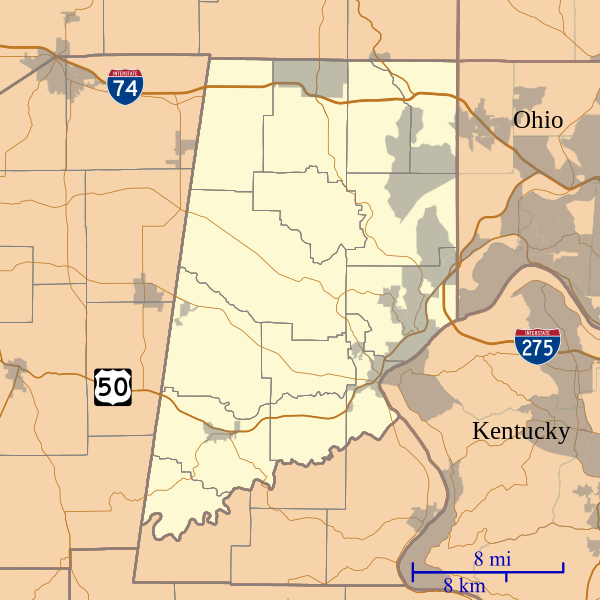
English: This is a map of Dearborn County, Indiana, USA which includes incorporated settlements, township borders, and major highways. |
| التاريخ | |
| المصدر | My own work, using custom-written MapScript applications with United States Census Bureau data |
| المؤلف | Omnedon |
ترخيص
| أنا، مالِك حقوق تأليف ونشر هذا العمل، أجعله في النِّطاق العامِّ، يسري هذا في أرجاء العالم كلِّه. في بعض البلدان، قد يكون هذا التَّرخيص غيرَ مُمكنٍ قانونيَّاً، في هذه الحالة: أمنح الجميع حق استخدام هذا العمل لأي غرض دون أي شرط ما لم يفرض القانون شروطًا إضافية. |
تاريخ الملف
اضغط على زمن/تاريخ لرؤية الملف كما بدا في هذا الزمن.
| زمن/تاريخ | صورة مصغرة | الأبعاد | مستخدم | تعليق | |
|---|---|---|---|---|---|
| حالي | 18:37، 1 سبتمبر 2014 | | 960 × 960 (1٫67 ميجابايت) | Omnedon | == {{int:filedesc}} == {{Information |Description={{en|This is a map of Dearborn County, Indiana, USA which includes incorporated settlements, township borders, and major highways.}} |Source=My own work, using custom-wri... |
استخدام الملف
الصفحتان التاليتان تستخدمان هذا الملف:
الاستخدام العالمي للملف
الويكيات الأخرى التالية تستخدم هذا الملف:
- الاستخدام في en.wikipedia.org
- Bonnell, Indiana
- Braysville, Indiana
- Chesterville, Indiana
- Cold Springs, Indiana
- Dover, Indiana
- Farmers Retreat, Indiana
- Hardinsburg, Dearborn County, Indiana
- Kyle, Indiana
- Lawrenceville, Indiana
- Logan, Dearborn County, Indiana
- Mount Sinai, Indiana
- New Alsace, Indiana
- Wilmington, Indiana
- Wrights Corner, Indiana
- Yorkville, Indiana
- Guilford, Indiana
- Manchester, Indiana
- Sparta, Indiana
- Weisburg, Indiana
- الاستخدام في fa.wikipedia.org