
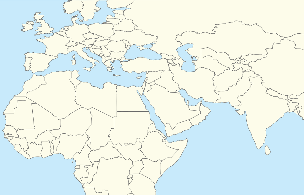
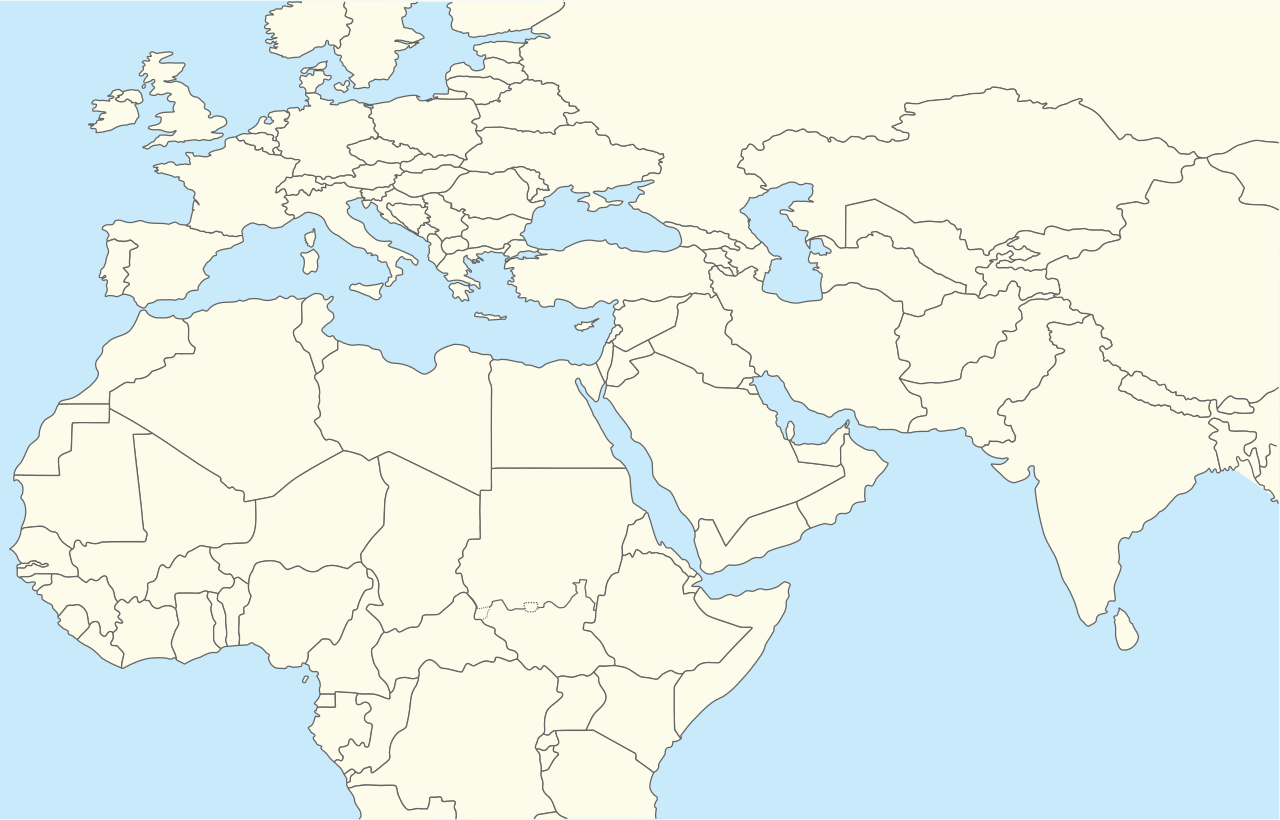
ملف:Middle East location map.svg

حجم معاينة PNG لذلك الملف ذي الامتداد SVG: 250 × 160 بكسل. الأبعاد الأخرى: 320 × 205 بكسل | 640 × 410 بكسل | 1٬024 × 655 بكسل | 1٬280 × 819 بكسل | 2٬560 × 1٬638 بكسل.
الملف الأصلي (ملف SVG، أبعاده 250 × 160 بكسل، حجم الملف: 258 كيلوبايت)
| هذا ملف من ويكيميديا كومنز. معلومات من صفحة وصفه مبينة في الأسفل. كومنز مستودع ملفات ميديا ذو رخصة حرة. |
| الوصف | Location map for Middle East (Greater Middle East) |
| التاريخ | (UTC) |
| المصدر | |
| المؤلف |
|
| هذا رسمٌ مُعَدَّلٌ رقميَّاً من النسخة الأصليَّة. يُمكن الاطلاع على النسخة الأصليَّة هنا: World location map.svg:
|
أنا، صاحب حقوق التأليف والنشر لهذا العمل، أنشر هذا العمل تحت الرخصة التالية:
| أنا، مالِك حقوق تأليف ونشر هذا العمل، أجعله في النِّطاق العامِّ، يسري هذا في أرجاء العالم كلِّه. في بعض البلدان، قد يكون هذا التَّرخيص غيرَ مُمكنٍ قانونيَّاً، في هذه الحالة: أمنح الجميع حق استخدام هذا العمل لأي غرض دون أي شرط ما لم يفرض القانون شروطًا إضافية. |
سجلُّ الرَّفع الأصيل
This image is a derivative work of the following images:
- File:World_location_map.svg licensed with PD-self
- 2010-04-18T18:53:02Z STyx 800x400 (599024 Bytes) {{Information |Description={{en|1=?}} |Source=? |Author=? |Date= |Permission= |other_versions= }} == {{int:filedesc}} == {{Information |Description={{en}}Blank world map for location map templates ([[:en:Equirectangular proje
Uploaded with derivativeFX
تاريخ الملف
اضغط على زمن/تاريخ لرؤية الملف كما بدا في هذا الزمن.
| زمن/تاريخ | صورة مصغرة | الأبعاد | مستخدم | تعليق | |
|---|---|---|---|---|---|
| حالي | 16:52، 11 أبريل 2024 | | 250 × 160 (258 كيلوبايت) | Iktsokh | Clearing the map |
| 20:12، 5 أبريل 2014 |  | 250 × 160 (258 كيلوبايت) | RicHard-59 | Sudan divided, Cyprus has been missing | |
| 13:06، 28 أكتوبر 2010 |  | 250 × 160 (250 كيلوبايت) | 배우는사람 | {{Information |Description=Location map for Middle East (Greater Middle East) |Source=*File:World_location_map.svg |Date=2010-10-28 13:06 (UTC) |Author=*File:World_location_map.svg *derivative work: ~~~ |Permission= |other_versions= }} {{Reto |
استخدام الملف
ال4 صفحات التالية تستخدم هذا الملف:
الاستخدام العالمي للملف
الويكيات الأخرى التالية تستخدم هذا الملف:
- الاستخدام في azb.wikipedia.org
- الاستخدام في bn.wikipedia.org
- الاستخدام في ceb.wikipedia.org
- الاستخدام في ckb.wikipedia.org
- الاستخدام في da.wikipedia.org
- الاستخدام في en.wikipedia.org
- Khuriya Muriya Islands
- Shiraz
- Abarim
- Sea of Galilee
- Dubai International Airport
- Taba, Egypt
- Taif
- Dubai
- Al Ain
- Midian
- Prophet's Mosque
- Kuwait International Airport
- Sharjah International Airport
- King Khalid International Airport
- Zayed International Airport
- Fujairah International Airport
- Jebel Akhdar (Oman)
- Salman Pak
- Doha International Airport
- Mount Arafat
- 1973 Rome airport attacks and hijacking
- Safa and Marwa
- Dhaid
- King Abdulaziz International Airport
- Wadi Qada'ah
- Nizwa
- Shibam
- Sohar
- Seeb
- Abha
- Shah Amanat International Airport
- Prince Mohammad bin Abdulaziz International Airport
- Al-Abwa'
- Al Maktoum International Airport
اعرض المزيد من الاستخدام العام لهذا الملف.