
ملف:Somerset UK relief location map.jpg

حجم هذه المعاينة: 800 × 505 بكسل. الأبعاد الأخرى: 320 × 202 بكسل | 640 × 404 بكسل | 1٬024 × 647 بكسل | 1٬280 × 808 بكسل | 2٬019 × 1٬275 بكسل.
الملف الأصلي (2٬019 × 1٬275 بكسل حجم الملف: 367 كيلوبايت، نوع MIME: image/jpeg)
| هذا ملف من ويكيميديا كومنز. معلومات من صفحة وصفه مبينة في الأسفل. كومنز مستودع ملفات ميديا ذو رخصة حرة. |
| الوصف |
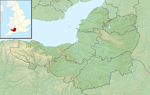
Relief map of Somerset, UK. Equirectangular map projection on WGS 84 datum, with N/S stretched 155% Geographic limits:
|
| التاريخ | |
| المصدر |
|
| المؤلف | Nilfanion, created using Ordnance Survey data |
| الترخيص (إعادة استخدام هذا الملف) |
هذا الملفُّ مُرخَّص بموجب رخصة المشاع الإبداعي نسبة المُصنَّف إِلى مُؤَلِّفه - المشاركة بالمثل 3.0 العامة نسب العمل لمُؤَلِّفه: Contains Ordnance Survey data © Crown copyright and database right
|
| إصدارات أخرى | File:Somerset UK district map (blank).svg - Blank map |
.svg)
تاريخ الملف
اضغط على زمن/تاريخ لرؤية الملف كما بدا في هذا الزمن.
| زمن/تاريخ | صورة مصغرة | الأبعاد | مستخدم | تعليق | |
|---|---|---|---|---|---|
| حالي | 01:53، 29 نوفمبر 2011 | | 2٬019 × 1٬275 (367 كيلوبايت) | Nilfanion | {{Information |Description=Relief map of Somerset, UK. Equirectangular map projection on WGS 84 datum, with N/S stretched 155% Geographic limits: *West: 3.96W *East: 2.12W *North: 51.55N *South: 50.80N |Source=[[w:Ordnance Survey|Ordnance |
استخدام الملف
الصفحة التالية تستخدم هذا الملف:
الاستخدام العالمي للملف
الويكيات الأخرى التالية تستخدم هذا الملف:
- الاستخدام في arz.wikipedia.org
- الاستخدام في bg.wikipedia.org
- الاستخدام في bn.wikipedia.org
- الاستخدام في ceb.wikipedia.org
- الاستخدام في en.wikipedia.org
- Battle of Lansdowne
- River Tone
- Chew Valley Lake
- Hunstrete Lake
- Orchardleigh Lake
- Battle of Langport
- Cheddar Reservoir
- Blagdon Lake
- Litton Reservoirs
- Chew Magna Reservoir
- Emborough
- Wimbleball Lake
- Ashford Reservoir
- River Cam (Somerset)
- Clatworthy Reservoir
- Durleigh reservoir
- Buildings and architecture of Bath
- Ham Wall
- Knowle Hill
- Weston-super-Mare Lifeboat Station
- Chard Reservoir
- Hawkridge Reservoir
- Sutton Bingham Reservoir
- Otterhead Lakes
- Minehead Lifeboat Station
- Burnham-on-Sea Lifeboat Station
- Burnham Area Rescue Boat
- Brent Knoll
- Luxhay Reservoir
- Burnham & Berrow Golf Club
- Portishead Lifeboat Station
اعرض المزيد من الاستخدام العام لهذا الملف.