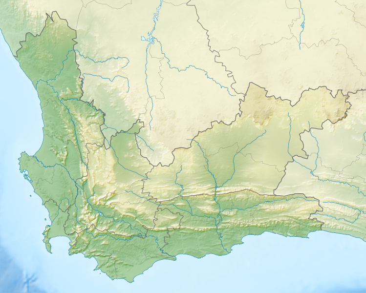
ملف:South Africa Western Cape relief location map.svg
المظهر

حجم معاينة PNG لذلك الملف ذي الامتداد SVG: 749 × 600 بكسل. الأبعاد الأخرى: 300 × 240 بكسل | 600 × 480 بكسل | 959 × 768 بكسل | 1٬279 × 1٬024 بكسل | 2٬558 × 2٬048 بكسل | 1٬214 × 972 بكسل.
الملف الأصلي (ملف SVG، أبعاده 1٬214 × 972 بكسل، حجم الملف: 1٫98 ميجابايت)
تاريخ الملف
اضغط على زمن/تاريخ لرؤية الملف كما بدا في هذا الزمن.
| زمن/تاريخ | صورة مصغرة | الأبعاد | مستخدم | تعليق | |
|---|---|---|---|---|---|
| حالي | 19:44، 4 يناير 2013 |  | 1٬214 × 972 (1٫98 ميجابايت) | Htonl | {{Information |Description ={{en|1=Relief location map of the Western Cape Equirectangular projection, N/S stretching 118%. Geographic limits of the map: * N: 30.25° S * S: 35.0° S * W: 17.5° E * E: 24.5° E}} |Source ... |
استخدام الملف
الصفحة التالية تستخدم هذا الملف:
الاستخدام العالمي للملف
الويكيات الأخرى التالية تستخدم هذا الملف:
- الاستخدام في ban.wikipedia.org
- الاستخدام في be.wikipedia.org
- الاستخدام في bg.wikipedia.org
- الاستخدام في ceb.wikipedia.org
- الاستخدام في de.wikipedia.org
- Robben Island
- Kap der Guten Hoffnung
- Tafelbucht
- Boulders Beach
- Saldanha Bay
- Montagu-Pass
- Wikipedia:Kartenwerkstatt/Positionskarten/Afrika
- Dyer Island (Südafrika)
- False Bay
- Vorlage:Positionskarte Südafrika Westkap
- Duiker Island
- Benutzer:Pechristener/Tradouw-Pass
- Dassen Island
- Benutzer:Olga Ernst/Walker Bay (Südafrika)
- Walker Bay (Südafrika)
- Matroosberg
- Outeniqua-Pass
- Still Bay
- Sankt-Helena-Bucht
- Bergwerk Steenkampskraal
- Robinson-Pass (Südafrika)
- Garcias-Pass
- الاستخدام في en.wikipedia.org
- Stellenbosch
- Cederberg
- False Bay
- Chapman's Peak
- Blombos Cave
- Dassen Island
- Rondevlei Nature Reserve
- Seal Island, South Africa
- Marloth Nature Reserve
- Karoo National Park
- Dimension Data Pro-Am
- BOS 400
- De Hoop Nature Reserve
- Duiker Island
- Hex River Mountains
- Hottentots Holland Mountains
- Arniston (East Indiaman)
اعرض المزيد من الاستخدام العام لهذا الملف.
